Aerial Survey of Lake Bed and Surrounding Mountains To Resume Week of May 19
May 19, 2014
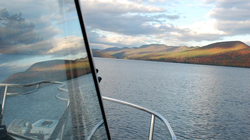
An aerial survey of Lake George, begun last fall as part of the Jefferson Project at Lake George, will resume the week of May 19, weather dependent. The aerial survey – along with boat-based surveying – is critical to development of an accurate computer model of water circulation within the Lake George watershed, one of a suite of new technologies and techniques being developed in the three-year, multimillion-dollar collaboration between Rensselaer Polytechnic Institute, IBM, and The FUND for Lake George.
During the aerial survey, which is expected to take place over the course of about two days, residents and visitors at Lake George may see airplanes flying slowly at an altitude of approximately 500 meters above the lake in a repetitive pattern. The study does not impact the lake or disturb its ecosystem.
The Jefferson Project on Lake George is building one of the world’s most sophisticated environmental monitoring and prediction systems, which will provide scientists and the community with a real-time picture of the health of the lake.
Data collected from the survey will be used to create a high-resolution contour map and images of the lake bed and shoreline. The contour map will in turn inform a circulation model of the lake – which will expand our understanding of how water, nutrients, invasive species, and pollutants move through the watershed and within Lake George.
The circulation model is one of a series of advanced data analytics, computing and data visualization techniques, new scientific and experimental methods, 3-D computer modeling and simulation, and historical data expected to provide an unprecedented scientific understanding of Lake George.
Aerial and boat-based surveying began in November 2013, and resumed this spring upon ice-out. Substructure Inc., a New Hampshire-based geophysical and hydrographic surveying company, has been surveying the lake using specialized boats equipped with multi-beam SONAR. However, the boats cannot survey in the shallowest areas. Aircraft equipped with custom-designed bathymetric LiDAR (light detection and ranging) equipment are used to survey the shallower areas.
The Jefferson Project at Lake George, launched in June 2013, aims to understand and manage multiple complex factors—including road salt incursion, storm water runoff, and invasive species—all threatening one of the world’s most pristine natural ecosystems and an economic cornerstone of the New York tourism industry. The collaboration partners expect that the world-class scientific and technology facility at the Rensselaer Darrin Fresh Water Institute at Lake George will create a new model for predictive preservation and remediation of critical natural systems in Lake George, in New York, and ultimately around the world.