Skip to main content
News
Main navigation
All News
Campus & Community
In The News
Experts
Media Relations
Search
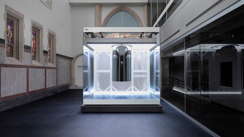
Rensselaer Polytechnic Institute and IBM Unveil the World’s first IBM Quantum System One on a University Campus
Now online, the IBM quantum system will expand the longstanding RPI and IBM partnership to accelerate quantum computing research, workforce development, and education in New York.
Latest News
RPI To Host Panel on Sleep and Your Health April 16
Rensselaer Faculty Presents Innovative World Premiere at Troy Savings Bank Music Hall
Rensselaer Polytechnic Institute and IBM Unveil the World’s first IBM Quantum System One on a University Campus
RPI and UAlbany Push the Boundaries of Computing With Historic Collaboration
Former U.S. Poet Laureate Tracy K. Smith To Be Guest Speaker at RPI’s Bicentennial McKinney Award Ceremony
RPI To Host Financial Technologies Event on March 27
Editor's Picks
Former U.S. Poet Laureate Tracy K. Smith To Be Guest Speaker at RPI’s Bicentennial McKinney Award Ceremony
Rensselaer Faculty Presents Innovative World Premiere at Troy Savings Bank Music Hall
RPI To Host Panel on Sleep and Your Health April 16
Campus & Community
Image
Graduate Education Offers Fellowships to HASS, Architecture Students
Image
Computational Biology Student Named Goldwater Scholar
Image
Graduate Education Offers Fellowships to HASS, Architecture Students
Image
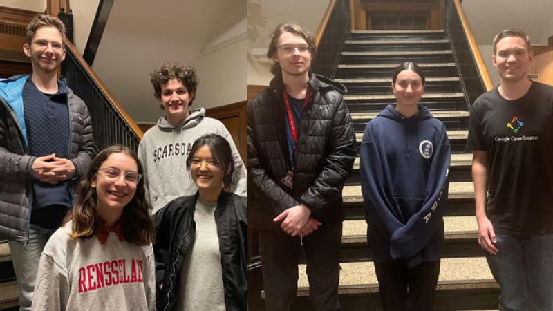
Rensselaer Students Compete in Cybersecurity Tournament
Back to top